Our new Deaf Education Map is finally here!
Published Date: 25 Feb 2022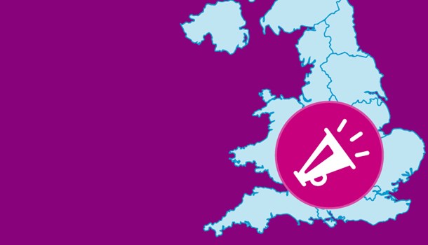
After weeks of preview content, we're pleased to announce that the new deaf education map is now live.
We're rounding off our series of blogs about the map. This week we are focusing on the information you can see on the map and other features.
See the information for your area
The map shows several types of data:
- numbers of deaf children and how many get support
- numbers of visiting Teachers of the Deaf
- number of specialist units
- any cuts or reviews in the area
- Ofsted/CQC local area SEND inspection reports (England only)
Where we can, we’ve also calculated national averages and ratios, to give you a sense of how your local area is performing. To allow you to compare the support available over different years, we’ve also uploaded data for the last three years.
The data has been collected from various sources:
- Annual Consortium for Research into Deaf Education (CRIDE) surveys
- Annual Improving Futures Freedom of Information requests to local authorities
- Local Engagement team insights
We believe the data is the best available and it's updated regularly, but it’s important to know that there are some limitations. We’ve published a post to accompany the map that explains how we’ve used the information and issues around some year-to-year comparisons.
It’s also important to note that services are delivered in different ways. Most of the time they are delivered by just your local council, but some areas deliver services as ‘consortiums’ made up of groups of different local councils. Where this is the case, the map pin will show where information is shared.
In some cases, we don’t have information available for a local area. When this happens, we display a ‘no data’ caption.
What the map does not do
As well as talking about the information that is on the map, it’s also important to talk about what the map is not. We already provide maps with service information so this map doesn’t replicate this. You will not find lots of contact information and external links to other sites and data sources.
Instead, the focus of the map is very much on holding local services to account for the services they are providing. We want to allow you to see what’s going on, easily compare it to other areas and then take actions to start conversations – whether this is to praise a service or challenge what is on offer.
Sharing the information from the map
If you read last week’s blog showcasing the search and ‘take action’ features , you’ll know the map includes a button to help you start conversations about the information on the map. You can contact us, the local service, or your local politician. Whichever you think is most appropriate.
In addition to this, we’ve added social sharing buttons to the top right of the where you can share a direct link to your local area. We currently have options for sharing on Facebook, Twitter and WhatsApp.
We have also designed the map to have user friendly URL links, so when in doubt you can always cut and paste the page URL in the browser into an email or text message and share this with friends, family or decision makers.
Your feedback matters
We hope you find the map easy to use and the information clear. We will be making improvements based on your feedback, so please do email us at: [email protected]
As time goes on, we will be adding new data and features, so stay tuned for further updates.